Gold Coast to build climate risk into new planning scheme within 12 months
Gold Coast Mayor Tom Tate says climate risks will be written into the city's new planning scheme within 12 months, after updated hazard maps were released.

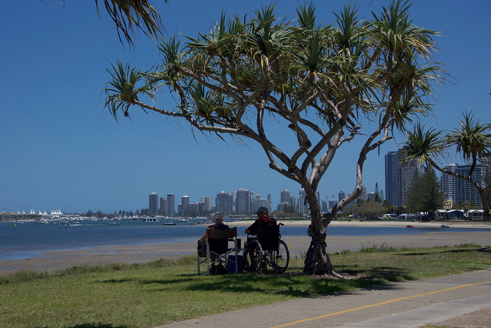
Image: GC Prestige (illustrative)
Gold Coast Mayor Tom Tate says climate risks will be written into the city's new planning scheme within 12 months, after updated hazard maps were released.
- Council published updated landslide and storm-tide hazard maps in October 2026
- Mayor Tom Tate says climate risks will be in the new planning scheme within 12 months
- A council report found climate modelling was not consistently used in investment decisions
- 2022 flood maps added 88,000 properties to areas at risk of extreme flooding
- Cr Glenn Tozer says the maps should have a negligible effect on property values
What's happening
The City of Gold Coast is moving to give buyers, owners and developers clearer information about natural hazards. The council has published updated maps showing areas at risk from landslides and storm tides, and Mayor Tom Tate says climate risks will be built into the city's new planning scheme within 12 months, ABC Gold Coast reported on 14 October.
The move follows a council report that found climate modelling, including flood and storm-tide data, had not been consistently used in infrastructure and investment decisions. Tate said the report showed "some things the city has missed", and that the aim is to avoid new homes being built where they could flood within 20 years.
The key details
The issue matters because the Gold Coast needs room for a growing population, and much of the northern growth corridor sits on low-lying land. The main points reported were:
- Updated landslide and storm-tide hazard maps were released in October 2026
- Flood maps released in 2022 identified an additional 88,000 properties at risk of extreme flooding
- Tate said proposed estates in northern suburbs such as Norwell remain viable if they include man-made water bodies, even where mapped as very high flood risk
- The Queensland government projects 0.8 metres of sea level rise by 2100; Griffith University's Aysin Dedekorkut-Howes said some models suggest 1.5 to 2 metres
- The Insurance Council of Australia said insurers use several data sources, including council maps, and any premium effect depends on whether risk materially changes
Councillor Glenn Tozer said the maps are designed to inform residents and should have a negligible effect on property values. Bond University's Ned Wales said climate adaptation would add to housing costs.
Timeline and next steps
The council has indicated climate risk provisions will be included in the new planning scheme within the next 12 months. Draft changes would normally go through public consultation before adoption, giving owners and the development industry a chance to comment.
What it means for Gold Coast property owners and developers
Clearer, up-to-date hazard information helps buyers make informed decisions and gives well-located, lower-risk land a stronger case. For developers, building resilience into design early — fill levels, drainage and water bodies — is likely to become a standard part of approvals, particularly in the northern corridor.
Owners in mapped areas should check the council's hazard overlays for their property and speak with their insurer and a planning professional before major works. Academics quoted by the ABC warned canal estates and low-lying suburbs face higher long-term exposure. This is general information, not financial or planning advice.
Frequently asked questions
What new maps has the council released?
Updated maps showing areas at risk of landslides and storm tides were published in October 2026; flood maps were updated in 2022.
When will climate risk be in the planning scheme?
Mayor Tom Tate said within 12 months.
Will the maps change insurance premiums?
The Insurance Council said it depends on whether the mapping shows a material change in risk and whether insurers can access that information.
Source: ABC News, published 14 October 2026. This article is an independent summary and commentary by GC Prestige based on the original report — read the source for full details.
ABC News
Read the original article →This is an independent summary written by GC Prestige for general information. All facts are attributed to the original publisher above — please refer to the source for full details. Not financial or planning advice.
More property news
View all news →






Own a development site in South East Queensland? We know what this news means for your land.
GC Prestige specialises in off-market development sites, amalgamations and land acquisitions across the Gold Coast and SEQ. Talk to us about what this news means for your property.
Speak with GC Prestige